Water flows in the Koksilah are out of balance. During winter storms water rushes in torrents down the streams and river scouring the channels and degrading fish habitat. In the summer flows reach critically low levels and are no longer able to meet the needs of fish and residents.
Koksilah flows are naturally variable as a result of:
And today water supply is more erratic due to:

Koksilah River
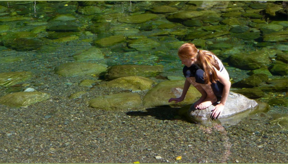
low water

Koksilah River
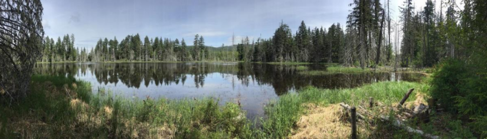
high water
Flow
In August 2019, as once again Koksilah River flows reached critically low levels (0.18 m3/s), the province restricted water use for the irrigation of forage crops such as hay and corn. Following the drought work a study was undertaken to find out if the order had been effective and it was determined that flows increased by about 50% (0.31 m3/s) by early September.
River flow data
Publicly accessible real time and historic measurements of water levels and flow are available for the Water Survey of Canada monitoring station located near the Koksilah Road bridge. Keep in mind that these measurements require manual calibration so they are labelled “provisional” (unverified) until the calibration is complete (final). i.e. If the line is green or yellow, the data is provisional. Disruptions to the water flow around the gauge can impact real-time accuracy.
This means, for example, a river discharge at the 90th percentile is equal to or greater than 90 percent of the discharge values recorded on this day of the year during all years that measurements have been made. The Koksilah River seasonal summer low-flow data are available from 1914 to 1916, 1955 to 2011, and 2013 to 2018.
Estimated flows based on the Water Survey data are also compared to long term historical flows for that day and are expressed as a percentile. Click here to see current Koksilah flows
Learn about the context and rationale for a network of protected areas designed for the Koksilah River watershed.
The Koksilah River watershed is a place of deep human history and immense ecological richness.